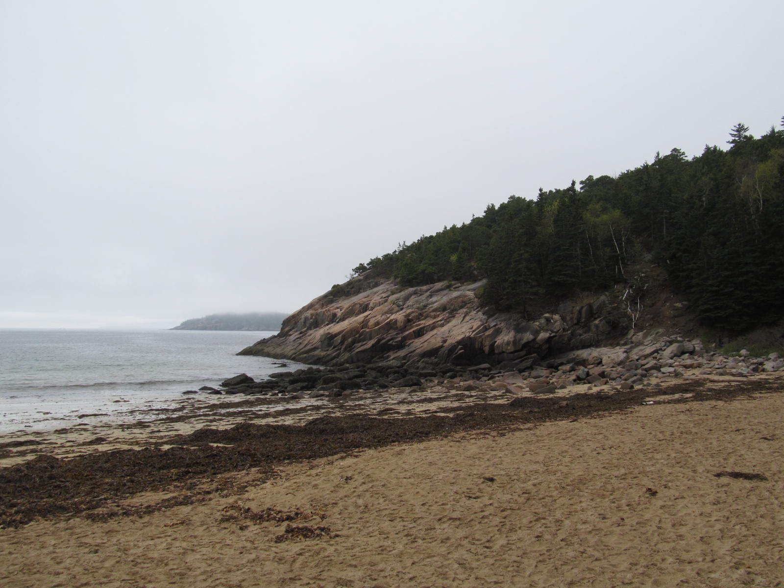
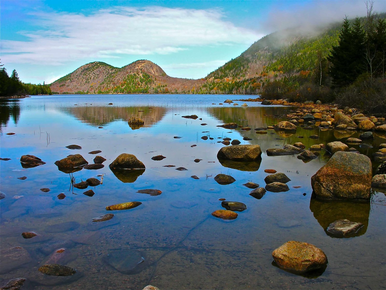
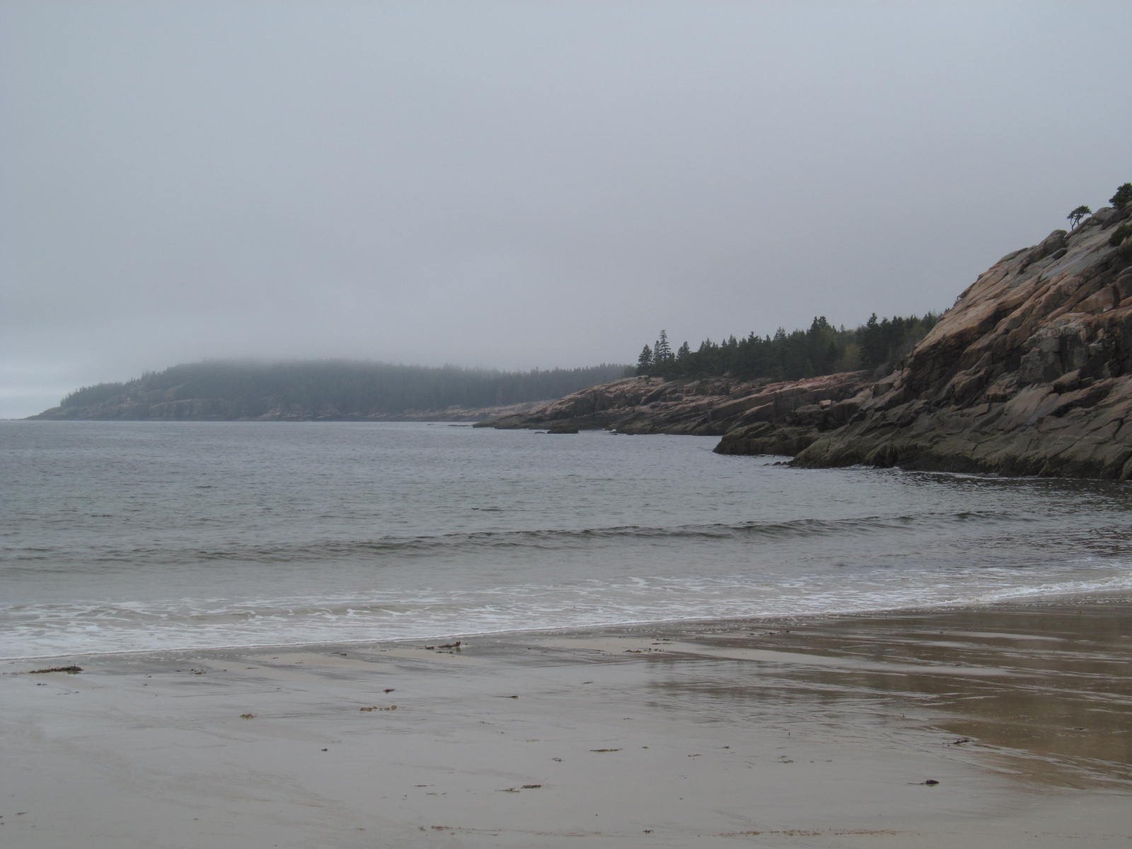
Acadia National Park driving trails offer visitors a spectacular way to experience the park’s diverse landscapes. From the iconic 27-mile Park Loop Road to the less-traveled Schoodic Peninsula, these scenic routes showcase the park’s rugged coastline, granite peaks, and lush forests. Visitors can explore popular attractions like Sand Beach, Thunder Hole, and Cadillac Mountain, while also discovering hidden gems off the beaten path.
What Are the Key Scenic Driving Routes in Acadia National Park?

Acadia National Park boasts several scenic driving routes that allow visitors to experience the park’s beauty from the comfort of their vehicles. Here are the main driving trails:
- Park Loop Road
- Length: 27 miles (43 km)
-
Notable features:
- Starts at Hulls Cove Visitor Center
- Passes by Sand Beach, Thunder Hole, Otter Cliffs, Jordan Pond, and Cadillac Mountain
- One-way along coastal sections
-
Acadia All-American Road
- Length: 40 miles
-
Highlights:
- Begins on Route 3 in Trenton
- Crosses the bridge to Mt. Desert Island
- Passes through Bar Harbor
- Joins Park Loop Road
-
Schoodic Scenic Byway
- Length: 29 miles
-
Features:
- Located on the less crowded Schoodic Peninsula
- Offers coastal views and quiet towns
-
Eastern Shore Drive to Great Head Trailhead
- Length: Approximately 4.2 miles
-
Highlights:
- Starts in Bar Harbor
- Includes stops at Schooner Head Overlook and Great Head Trailhead
-
Highway 3 Loop – Eastern MDI Perimeter
- Covers the eastern perimeter of Mt. Desert Island
-
Passes through Otter Creek and includes Dorr Mountain Trailhead
-
Highway 102 Loop
- Covers West Mt. Desert Island
- Passes by Acadia Mountain and less-visited areas
How Can Visitors Obtain Maps for Acadia National Park Driving Trails?

Visitors can obtain maps for Acadia National Park driving trails through various means:
- Visitor Centers: Maps are available at Hulls Cove Visitor Center and other park visitor centers.
- Digital Resources: The National Park Service website provides digital maps and guides.
- Trail Markings: The Park Loop Road and other scenic drives are well-marked with signs indicating viewpoints and points of interest.
What Are the Must-See Stops Along the Park Loop Road?
The Park Loop Road offers several must-see stops that showcase the park’s natural beauty:
- Sand Beach: A popular beach with warm sands and chilly waters
- Thunder Hole: Known for its unique sound when waves crash into the hole
- Otter Cliffs: Famous pink granite cliffs
- Jordan Pond: A small, beautiful body of water with the historic Jordan Pond House
- Cadillac Mountain: The highest point in Acadia, accessible by car
How Long Does It Take to Complete the Park Loop Road?
- Estimated time without stops: 3-4 hours
- Recommended time with stops: 6-8 hours
- It’s best to dedicate a full day to allow for exploration and stops
Are There Any Seasonal Accessibility Issues or Road Conditions to Consider?
Visitors should be aware of the following seasonal considerations:
- The Park Loop Road is congested from June through mid-October, especially on holiday weekends.
- Vehicle reservations are required for Cadillac Summit Road between sunrise and sunset from May 26 through October 19.
- During winter months, only the section from Sand Beach Entrance Station to Otter Cliff Road remains open to vehicles.
What Are the Best Viewpoints Accessible by Driving in Acadia National Park?
| Viewpoint | GPS Coordinates | Parking Availability | Amenities |
|---|---|---|---|
| Cadillac Mountain | 44.3533° N, 68.2242° W | Summit parking lot (can get crowded) | Restrooms, scenic overlooks, summit marker |
| Otter Cliffs | 44.2923° N, 68.1853° W | Parking lots along Park Loop Road | Scenic overlooks, trailheads, nearby picnic areas |
| Thunder Hole | 44.2944° N, 68.1864° W | Parking lots along Park Loop Road | Scenic overlooks, trailheads, nearby picnic areas |
| Jordan Pond | 44.3211° N, 68.2523° W | Parking lots near Jordan Pond House | Jordan Pond House restaurant, picnic areas, carriage roads |
How Can Visitors Make the Most of Their Driving Experience in Acadia National Park?
To maximize your driving experience in Acadia National Park, consider these tips:
- Start early to avoid crowds, especially during peak season.
- Plan your route in advance, focusing on the areas you’re most interested in exploring.
- Take advantage of pullouts and parking areas to safely enjoy the views.
- Bring binoculars to spot wildlife and observe distant landscapes.
- Pack a picnic to enjoy at one of the many scenic spots along the routes.
- Be prepared for changing weather conditions, as coastal areas can experience rapid shifts.
- Consider visiting less popular areas, like the Schoodic Peninsula, for a quieter experience.
By following these suggestions and exploring the various driving trails, visitors can create a memorable and comprehensive experience of Acadia National Park’s diverse landscapes and natural wonders.
References:
1. https://visitmaine.com/things-to-do/parks-natural-attractions/scenic-road-tours-acadia-national-park
2. https://www.nps.gov/thingstodo/drive-park-loop-road.htm
3. https://www.acadianationalpark.com/scenic_drives/

